
Fieldwork
Discovery and survey work
These are two of the most important parts of the Group’s work in the New Forest area. They are concentrated chiefly on the common lands and woods within the Forest, but include occasional research on private property with the landowners’ permission.
Survey projects are undertaken throughout the winter months. Below the survey team is shown working on the landscaped grounds of a vanished 18th century mansion in the New Forest.

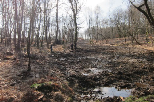
The survey team also checks and corrects the archaeological reports obtained by Forestry England in advance of potentially damaging forestry and engineering works. In this valley shown below, Forestry England destroyed three Bronze Age water heating sites through filling-in a stream, having obtained inadequate archaeological reports in advance of work. In an attempt to avoid this happening again, the Group now seeks to check all such reports and to correct their errors and omissions.
Over the last twenty-seven years, the survey team has published eleven volumes of detailed area surveys, covering about 18,000 acres, together with innumerable smaller surveys included in the annual reports. Three of the recent volumes of archaeological surveys in the New Forest produced by the Group are shown below.

Important discoveries over the years have included vast coaxial field layouts covering about eleven thousand acres, many new Roman sites, including a significant increase in the number of known kilns, over 600 boiling sites which are likely to be of Bronze Age date, prehistoric implement production sites and much new information about past military use of the Forest. Also illustrated below is some of the Forest’s industrial archaeology.
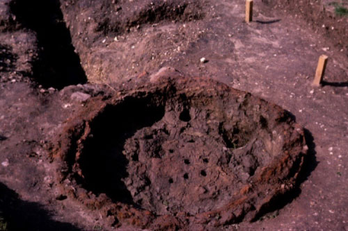
Below is a fine example of an undamaged Romano-British pottery kiln. This was an early (1966) find in advance of damaging forestry road construction.
Below shows a typical assortment of material from implement manufacture in the New Forest – probably late Neolithic or Bronze Age. Such flint (usually waste fragments) occurs throughout the Forest, but most commonly in dry sandy locations. Well over one hundred such sites have been recorded by the Group.

Wartime air photos, such as this of the Ashley Walk bombing range below, provide an invaluable record of military use of the area. Much of this recent history is well documented, with the Group’s members having published histories of both Ashley Walk and the adjoining explosives testing area at Millersford.

Below is a rare well-preserved charcoal pit and further down, a view of charcoal burning in its last years in the Forest – WW1.
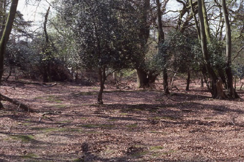
The Group members have recorded over three hundred surviving charcoal pits in the Forest.

Volunteers for this work of discovery and survey are very welcome
No previous experience is required. Nearly all survey work is in winter and early spring when bracken and other vegetation is at its lowest, so participants need to be reasonably fit and capable of working in cold rough conditions. Further details available from the secretary by contacting us.